UPCOMING EVENTS

WHO WE ARE?
Being aware of the different systems in the practice of land surveying and geomatics in the ASEAN region, the ASEAN Federation of Land Surveying and Geomatics (The ASEAN FLAG) was established with the following aspirations:
- To realise close cooperation among members of the same profession and associated services in the ASEAN member nations in order to help promote the aspirations, objectives and principles of the ASEAN in accordance with the 1967 Bangkok Declaration, the 1976 Declaration of ASEAN Concord and the 1976 Treaty of Amity and Cooperation in South East Asia;
- To help maintain peace and promote prosperity in the ASEAN region through mutual cooperation and the advancement of the profession of land surveying and geomatics;
- and thereby, ASEAN countries with expanding economic and cultural relations will create more demand on institutions involved in land surveying and geomatics.
PARTNERS


Be a Member of the Premier Group of Land Surveyors
and Geomatics Practitioners
ASEAN REGISTERED SURVEYOR (ARS)
The ASEAN Committee of Competent Authorities on Surveying (ACACS) is working towards establishing a Mutual Recognition Arrangement (MRA) on surveying. As part of this initiative, the ASEAN Registered Surveyor (ARS) serves as an official recognition by the local authority that a surveyor is qualified, competent and legally authorised to carry out land surveying work in their home country. ARS registration is the first step towards becoming a Registered Foreign Professional Surveyor (RFPS) allowing you to carry out surveying work in other ASEAN countries, subject to the Competent Authority of host country.
NEWS & EVENTS
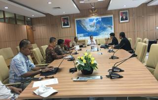
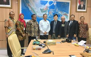
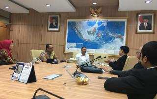
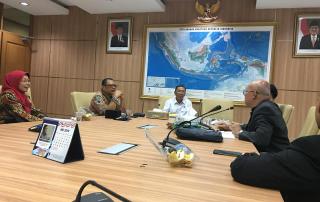
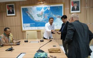
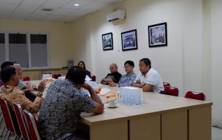
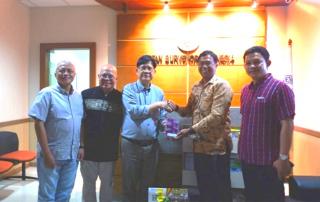
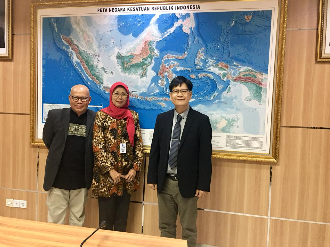
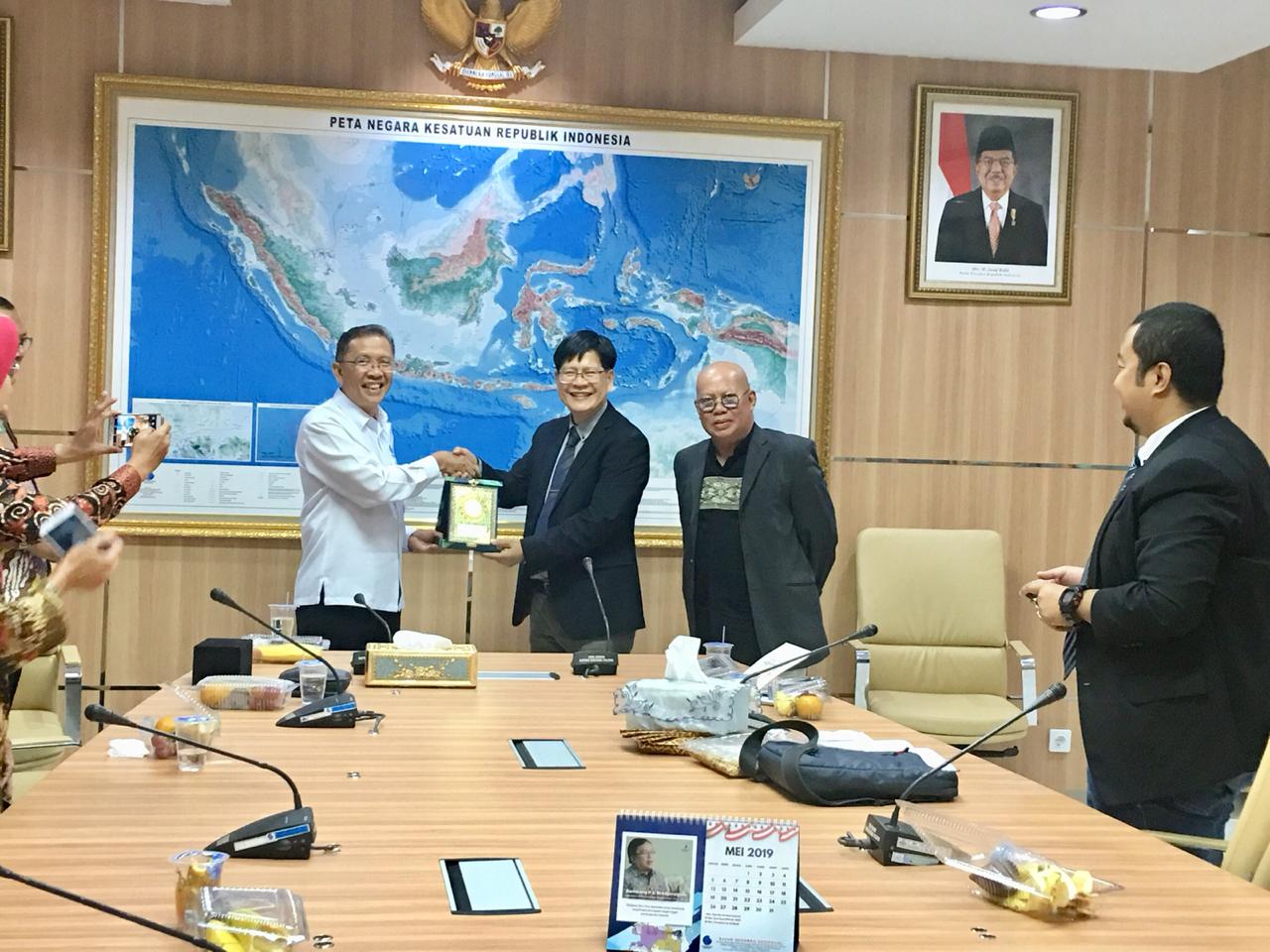
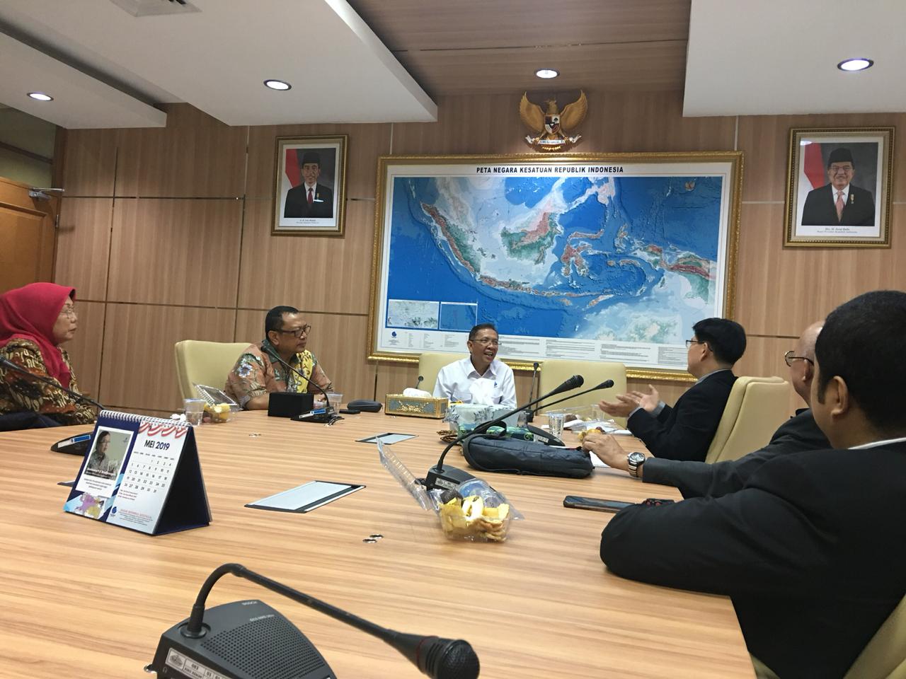
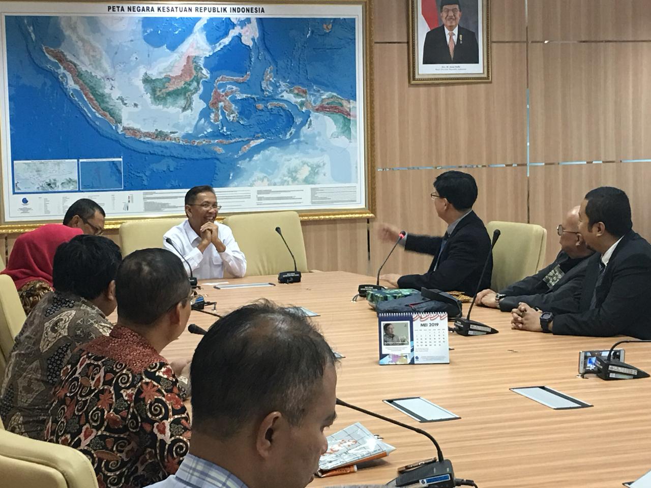
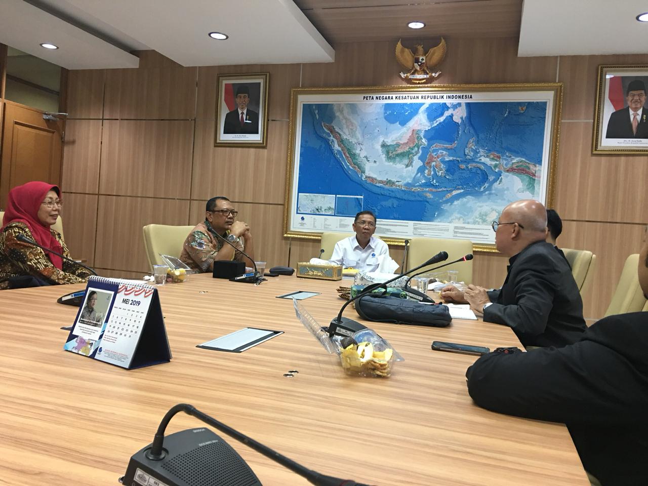
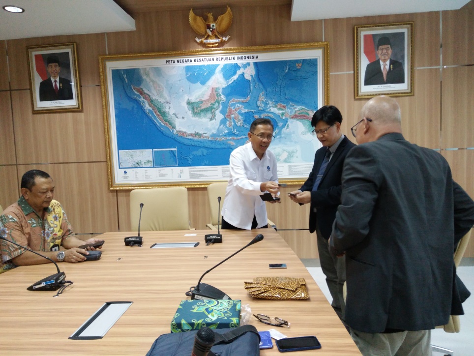
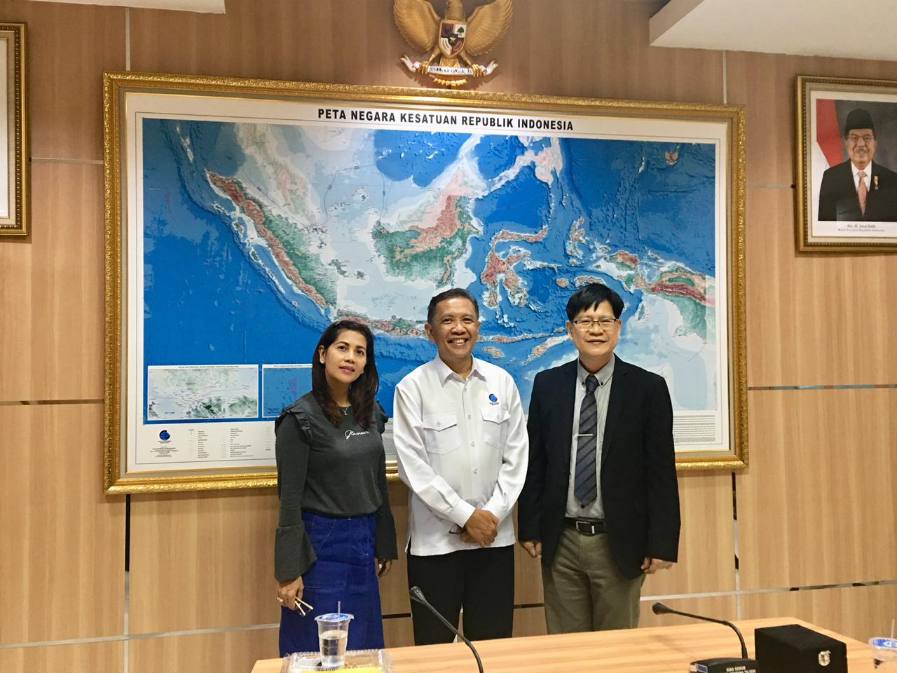
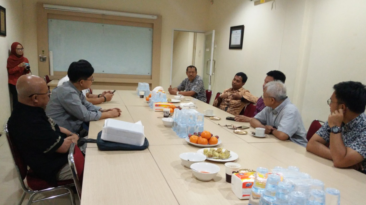
Visit to Badan Informasi Geospasial (BIG), Bogor, Indonesia
President Randolf Sevidal Vicente with Honorary Presidents Pingeran Matusin Matasan and Diah Kirana Kresnawati, and Vice President Ady Ruchiatan visited the Office of Badan Informasi Geospasial (Geospatial Information Agency)
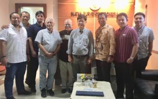
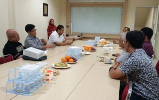
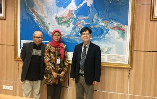
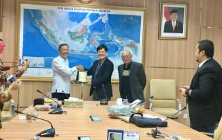
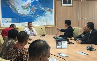
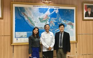
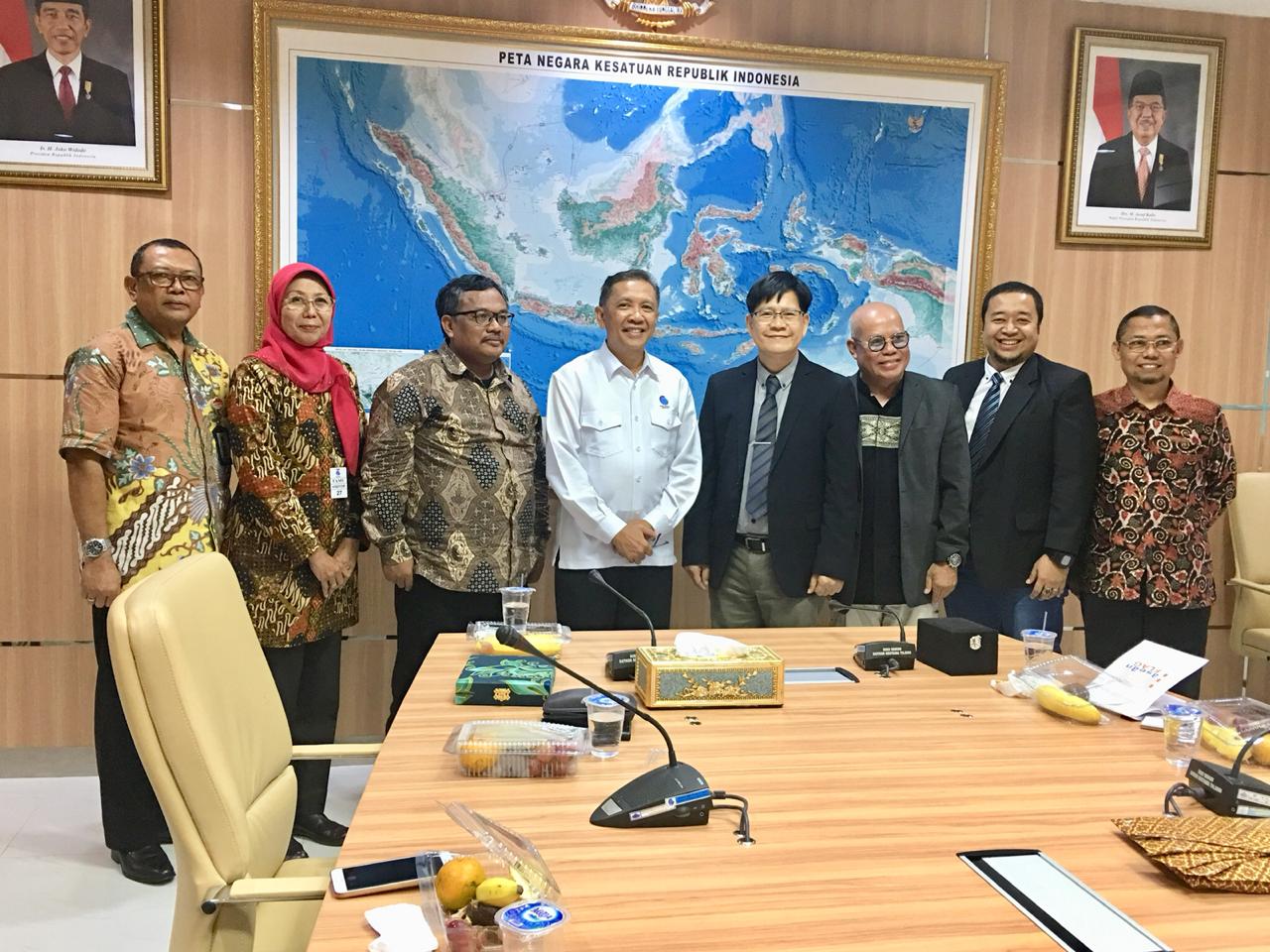
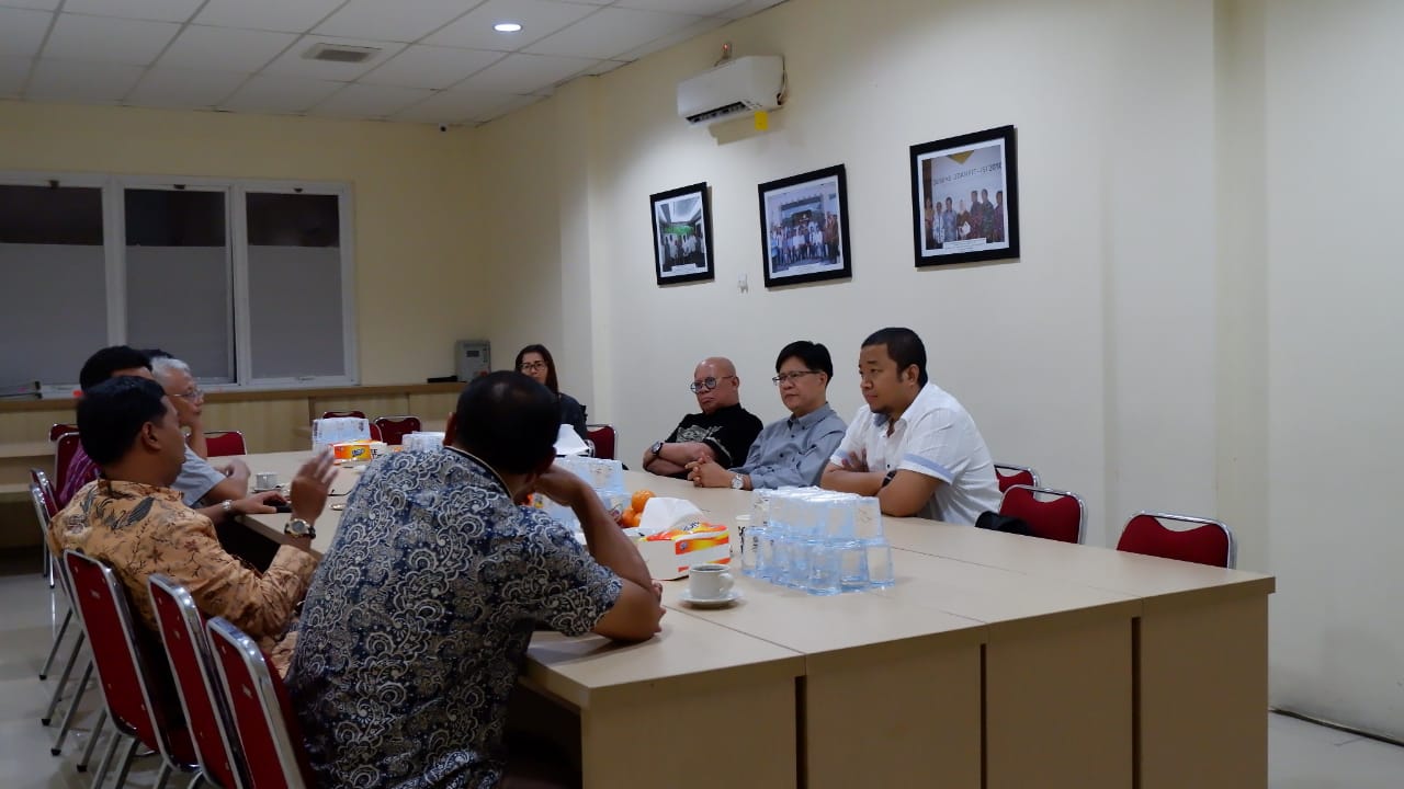
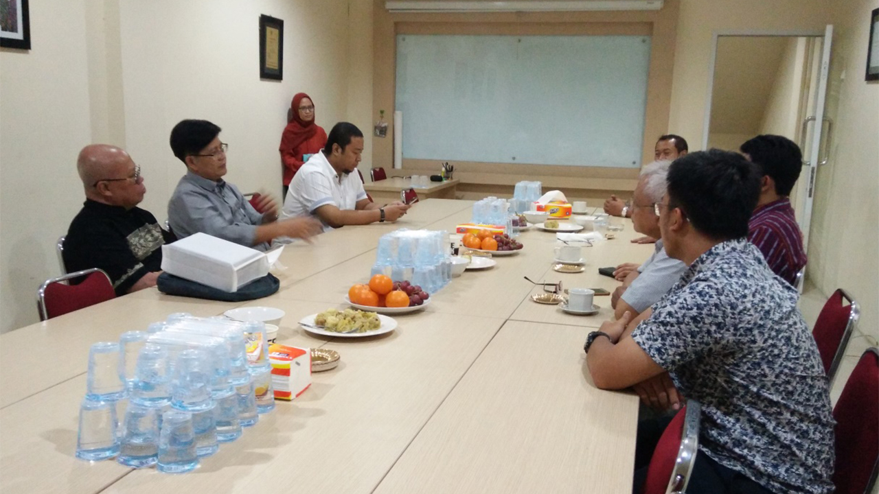
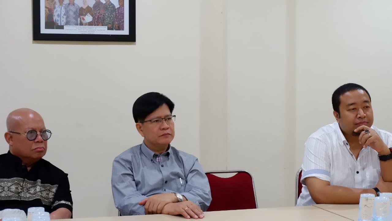
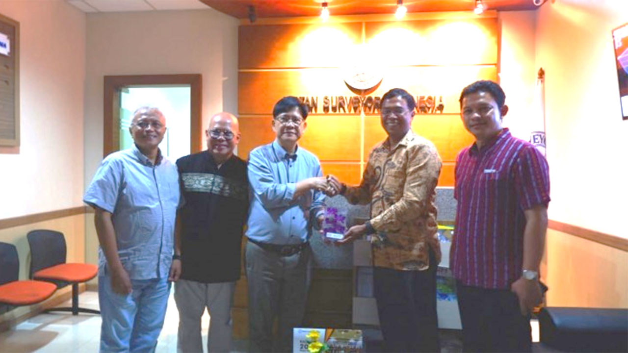
Visit to Ikatan Surveyor Indonesia, Jakarta, Indonesia
ASEAN FLAG President Randolf Vicente with Honorary President Pingeran Matusin Matasan and Vice President Ady Ruchiatan visited the Office of Ikatan Surveyor Indonesia in Jakarta, Indonesia In line with
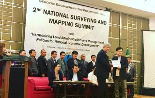
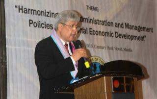
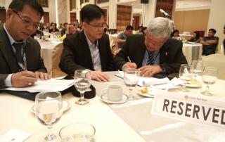
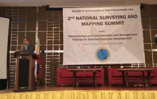
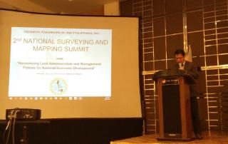
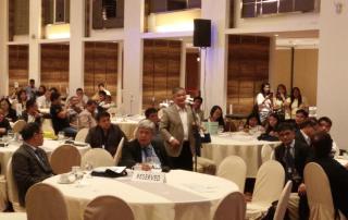
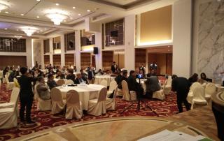
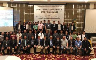
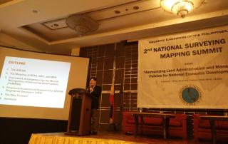
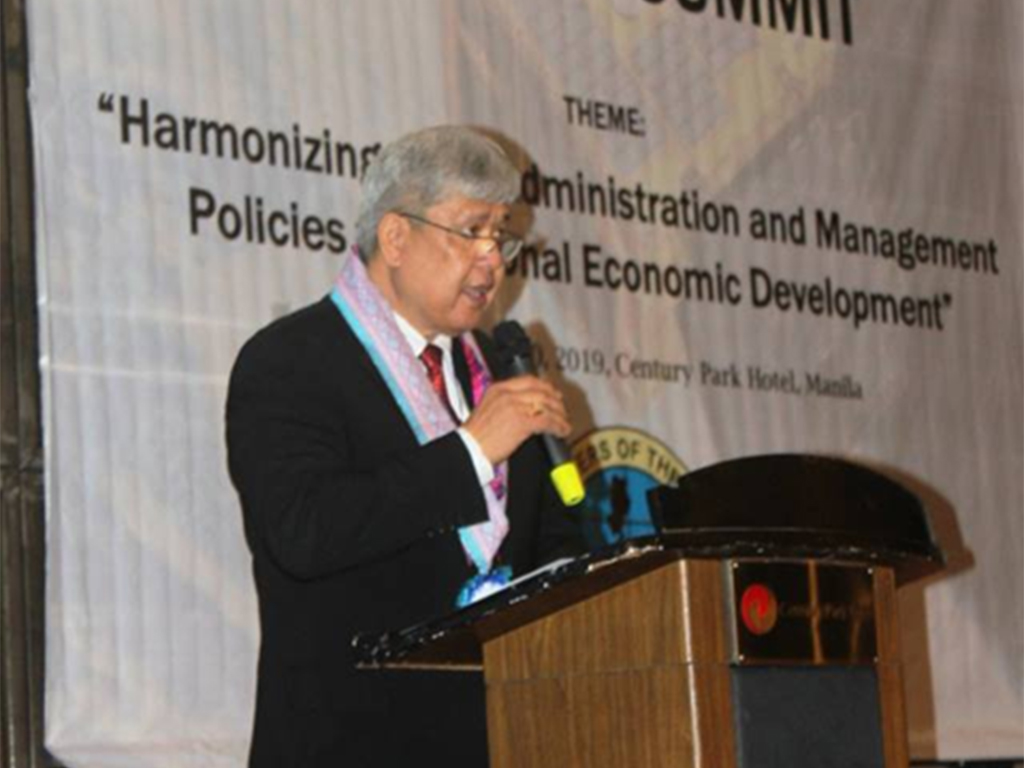
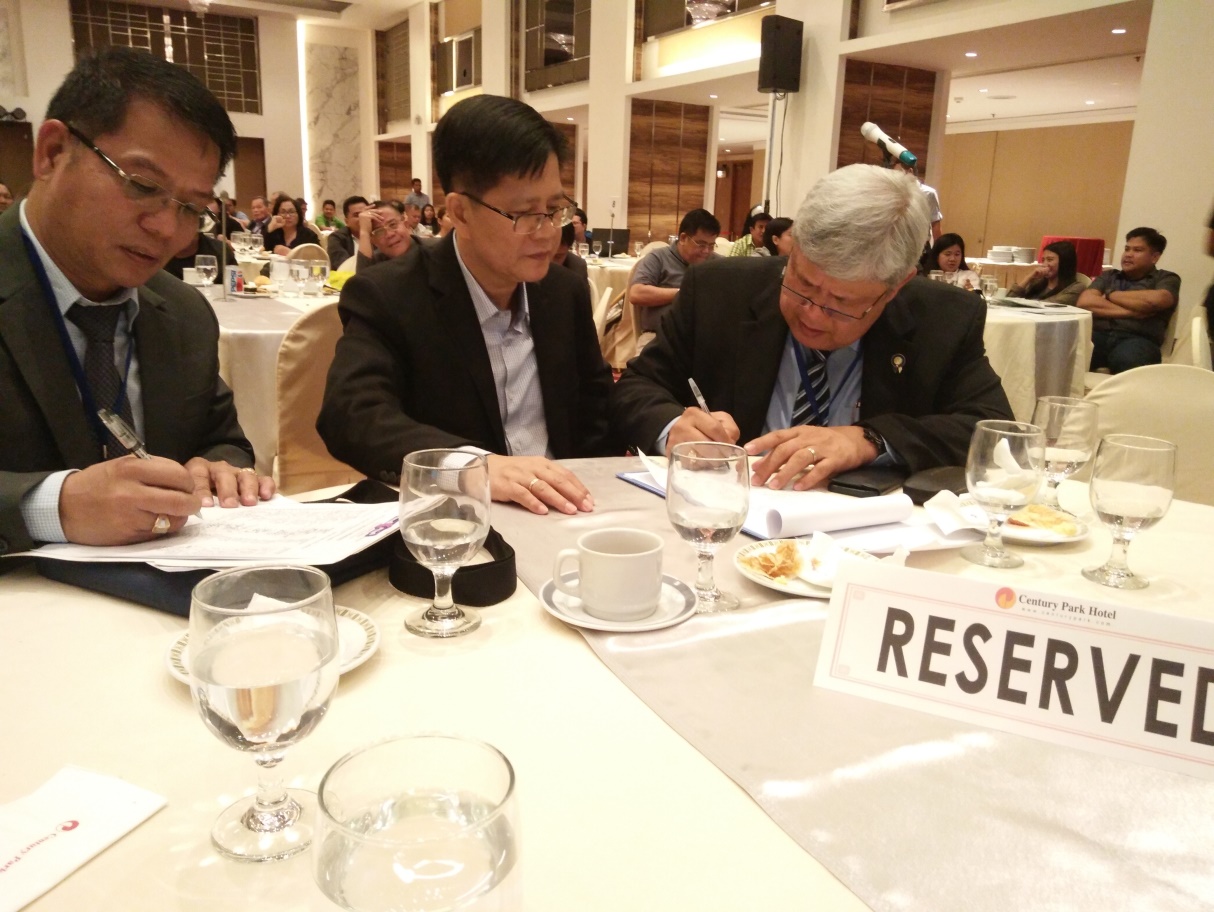
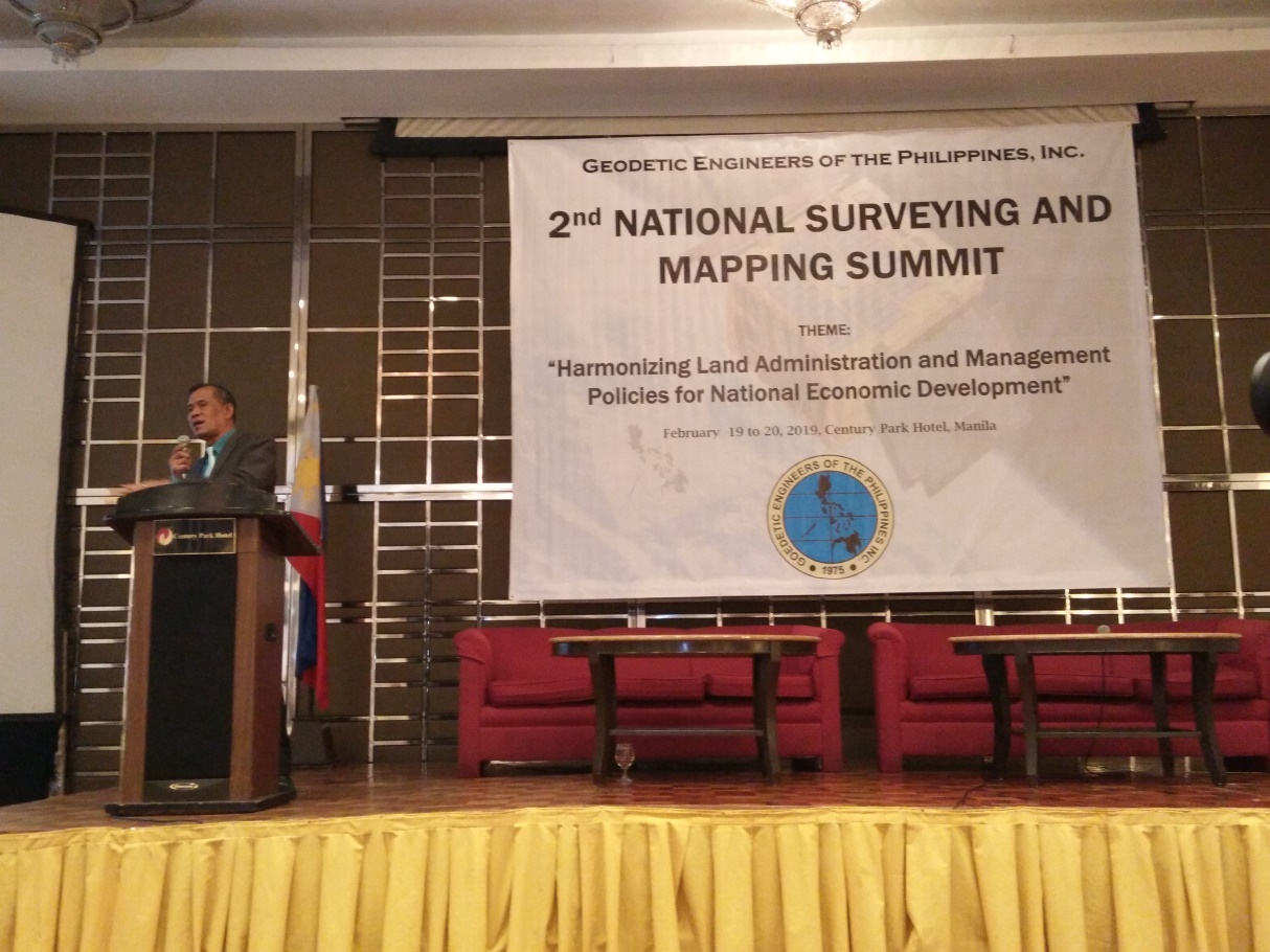
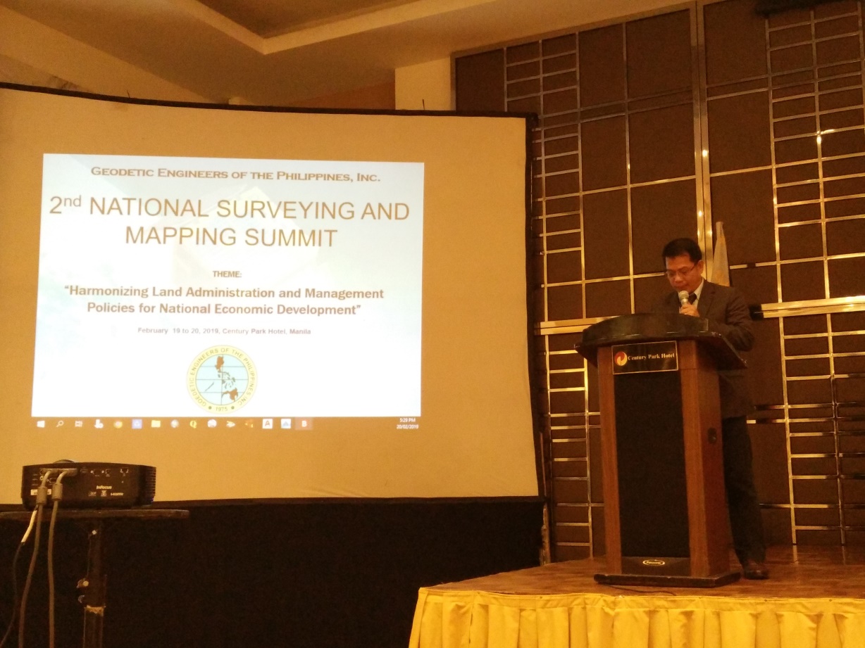
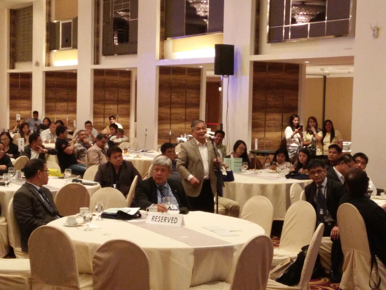
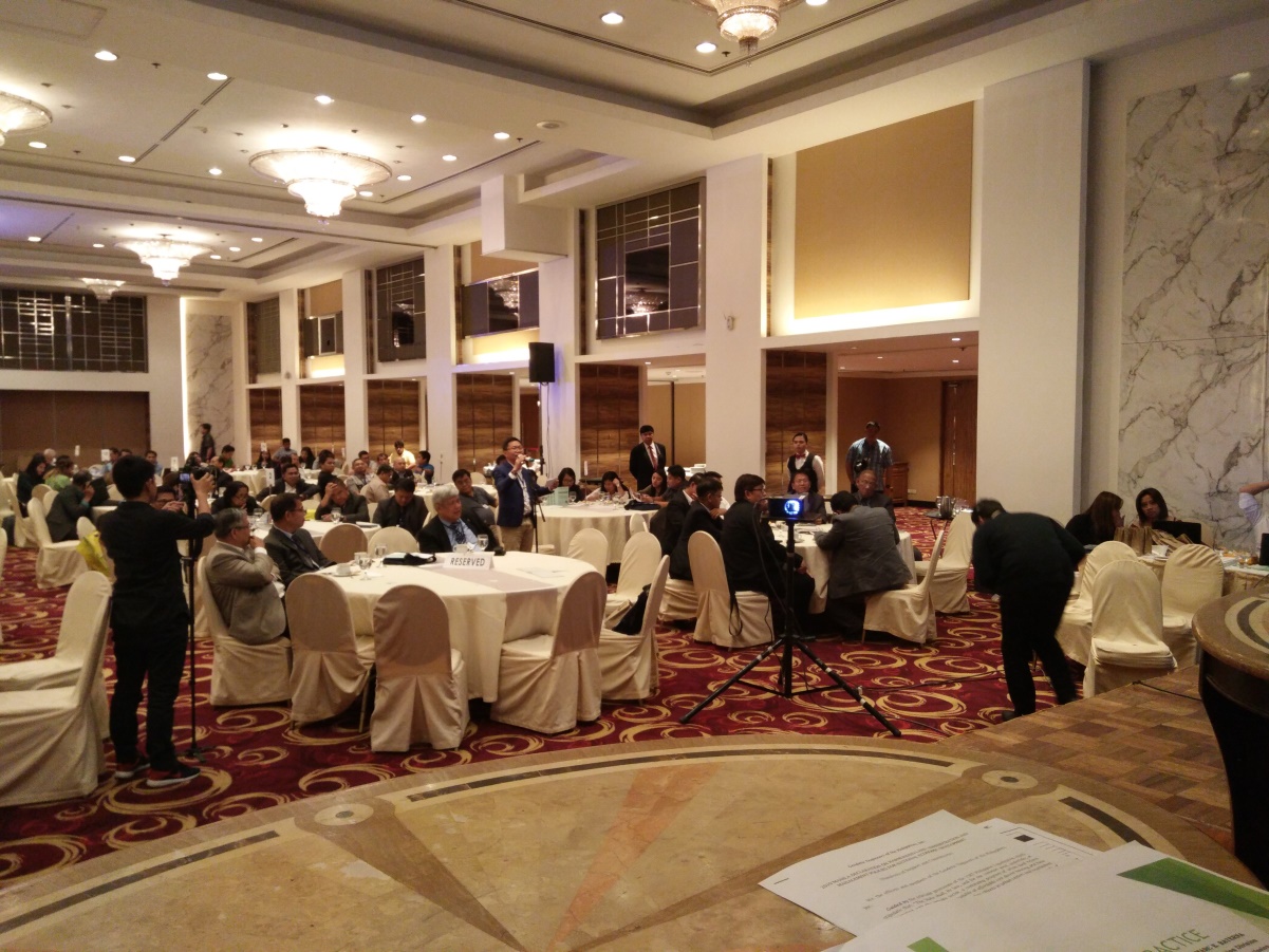
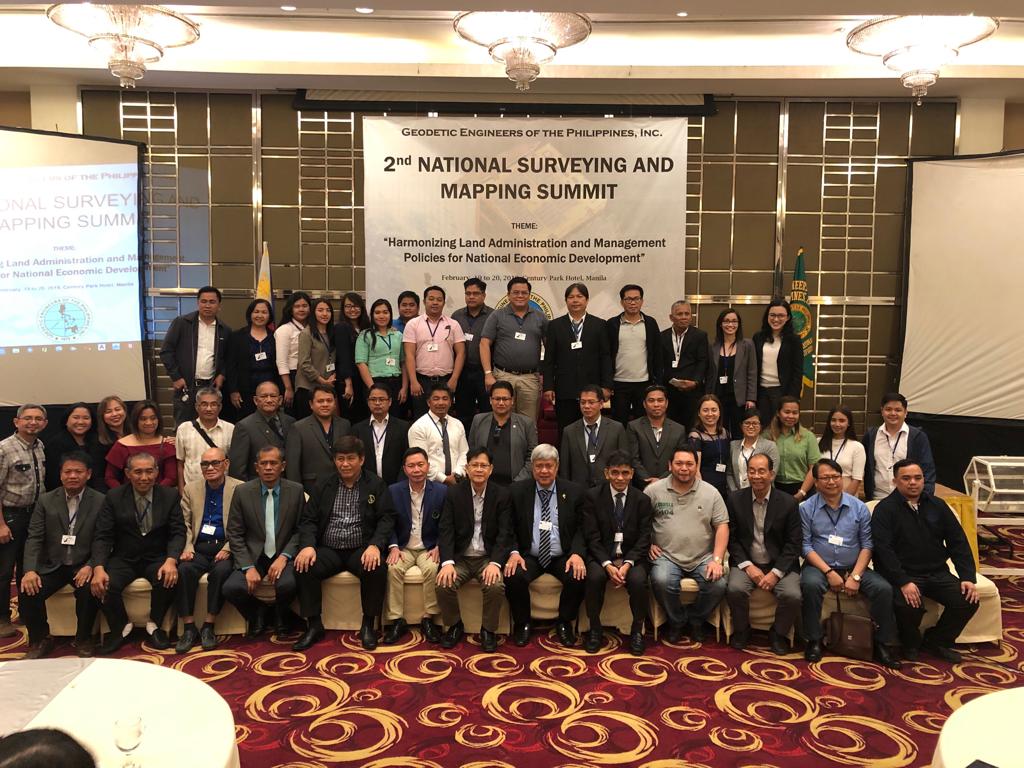
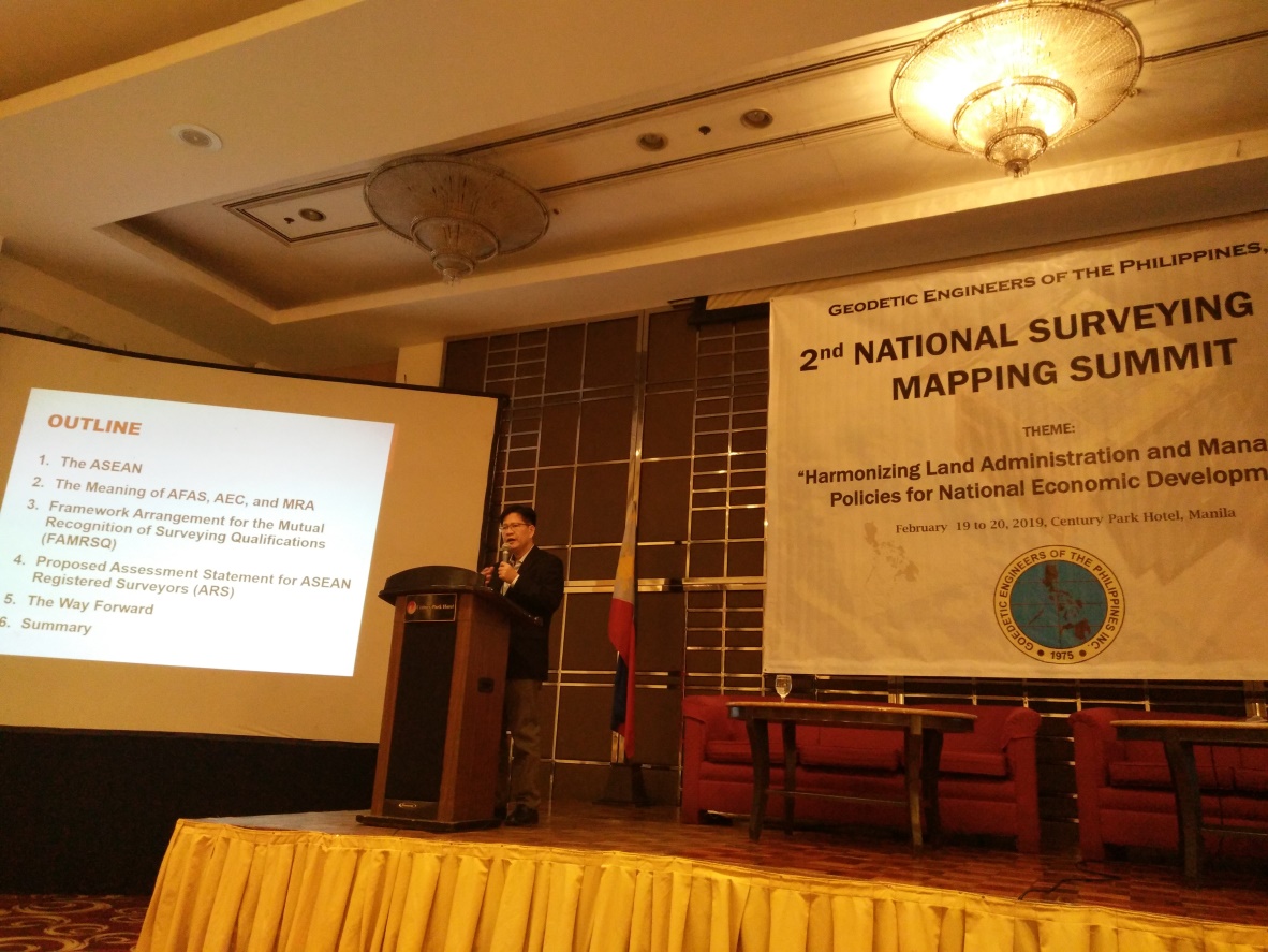
Second Philippine Surveying and Mapping Summit held in Manila
The Geodetic Engineers of the Philippines, Inc. (GEPI), the duly accredited and integrated organization of geodetic engineers in the Philippines, and an institution member of ASEAN FLAG, has just concluded